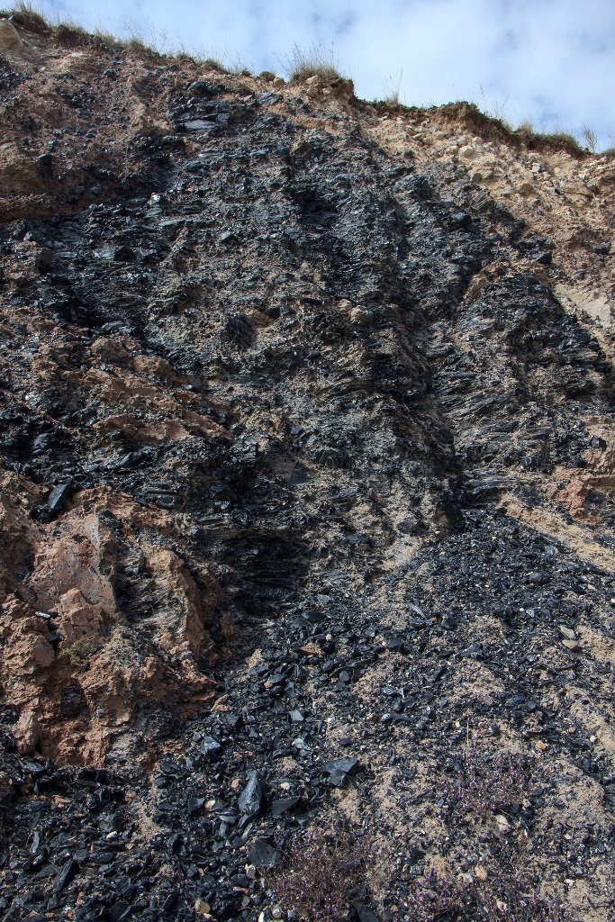
Up Ron & Marjolijn's holiday pictures » 2014-09 Turkey » 08-Kars Prev Next Slideshow

 Previous image  Next image  Index page  Original Image [04-Obsidian layers.jpg - 1.8MB]


01-Tarihi Köprü
02-Landscape along the road E691 to Kars
03-Landscape along the road D957 to Kars
  04-Obsidian layers.jpg  
05-Looks like asbestos fibers
06-Kars
07-Entrance of Ani ruins
08-Bezirhane (Oil Press)
09-Cave Houses
10-The Church of St. Gregory of Tigran Honents (Nakışlı Kilise)
11-The Church of St. Gregory of Tigran Honents (Nakışlı Kilise)
12-The Church of St. Gregory of Tigran Honents (Nakışlı Kilise)
13-The Church of St. Gregory of Tigran Honents (Nakışlı Kilise)
14-Armenian Cathedral
15-Armenian Cathedral
16-Armenian Cathedral

04-Obsidian layers Download Original Image
Latitude: N 40°12'52,92" | Longitude: E 42°39'0,39" | Altitude: 1816 metres | Location: Mescitli | State/Province: Kars | Country: Turkey | Copyright: Ron Harkink | See map
Total images: 31 | Help